Map
In my last tutorial, my tutor suggested a map to link all the locations to give context. I have experimented and I really like the outcome.
I started by creating a map of Pembrokeshire, where the pilgrimage is located. I decided on using a black and white image, as I found it was clearer and wouldn’t be overly busy. Here is the map:
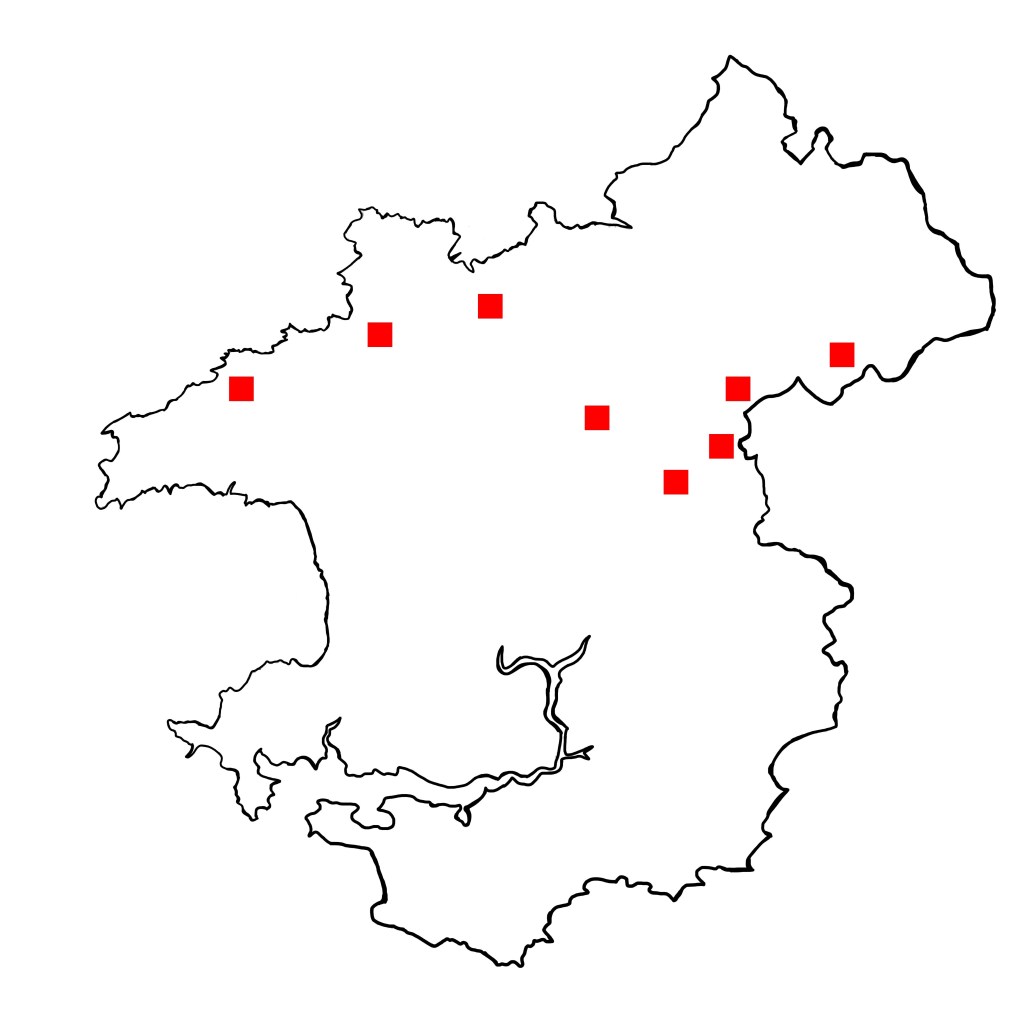
I marked the locations with a red dot.
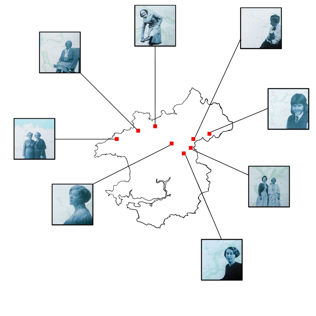
I can either keep the map how it is, but I decided to experiment with featuring the actual location somehow. I tried linking each location with the mapping images I used for them. Which you can see here:
I then decided to try showing a small snippet of the main images to allude to their location, you can see the result here:
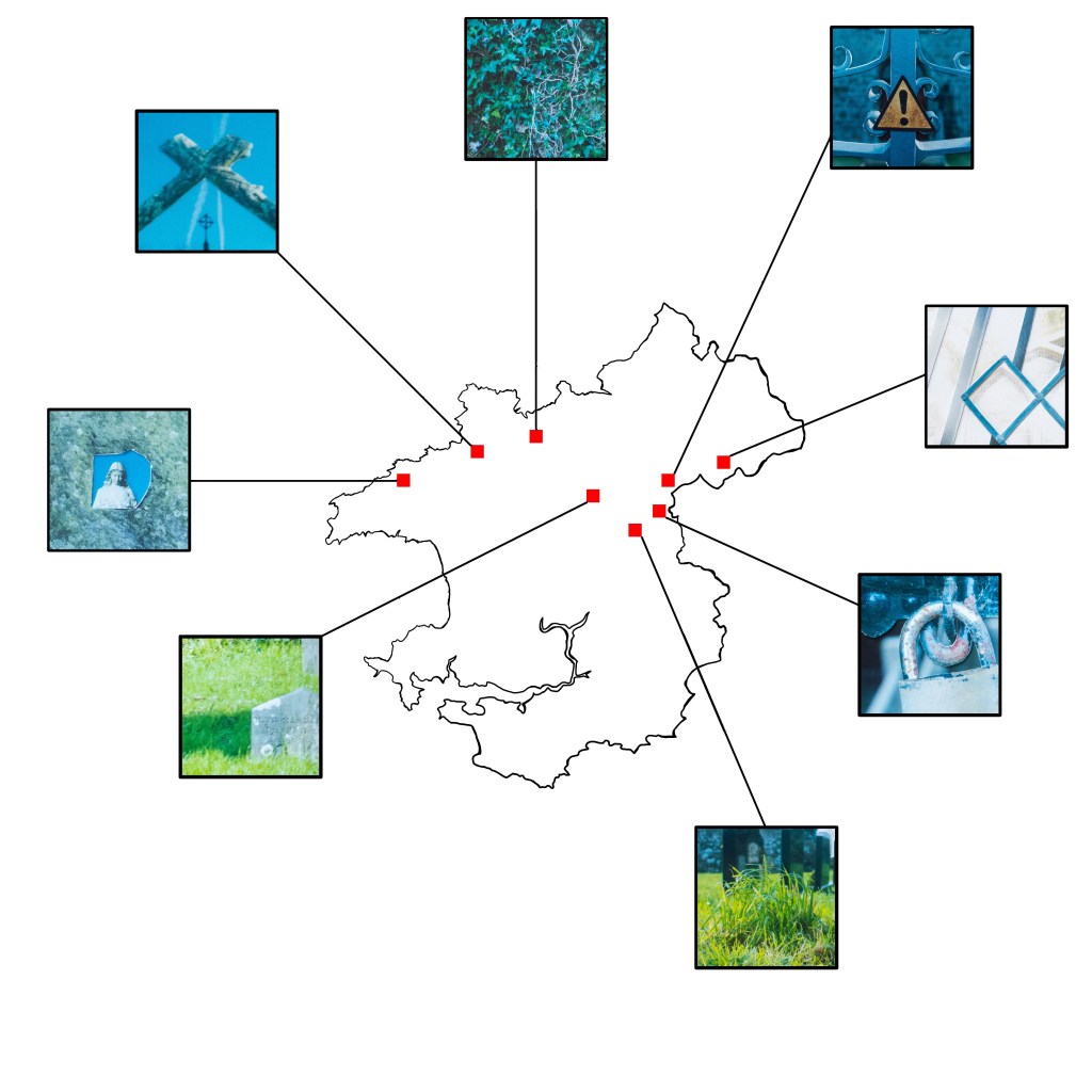
Like the map on it’s own but I think it could be better. I have looked at the mapping map and the main image map, to see which I think looks better. I like both, but I am drawn to the one that has the main images. I like that it gives a small snippet of the location without giving to much away.

1 thought on “Map”